Groundwater exploration, a sustainable groundwater
management as well as the protection of this resource
characterize essential aspects in the subject of
hydrogeology. Besides the hydrochemical composition
(qualitative) of the groundwater, this field of expertise
also accounts for its subsurface flow characteristics
(quantitative). With respect to this, it is indispensible
to have the best knowledge possible about the structural
conditions of the hydrogeological system.
Classical methodologies for system characterization are
the analysis and integration of geological borehole data,
geophysical measurements, remote sensing, laboratory
experiments on representative field samples and
hydrogeological field methods (pumping or infiltration
tests) for the in-situ determination of related
parameters.
The evaluation of hydrogeological
systems is linked to site-specific monitoring programs
and/or the use of multidimensional numerical flow and
transport models. Depending on the issue involved, the
models can be hydraulic, hydrochemical, or also
thermodynamic, while corresponding model couplings are
generally possible.
In hydrogeology,
Conceptualization of hydrogeological models
Hydrogeological 3-D modeling
Groundwater exploration services
Regional groundwater resource evaluation
Groundwater monitoring & sampling
Vulnerability assessment
Groundwater protection concepts
TOP

Geohydraulics form a major segment of the hydrogeology
discipline. Gathering measurements, the mathematical
reproduction of groundwater flow and solute transport
processes as well as specific system analyses, all belong
to the essential foundations of our work.
The utilization of multi-dimensional numerical groundwater
models in combination with representatively collected
field data provides our customers with robust system
analyses as well as reliable planning and prognosis
instruments in all areas of inquiry.
In the discipline of geohydraulics,
Geohydraulic characterization of porous, fractured, and karstic aquifers
Case studies of regional groundwater flow and solute transport processes
Numerical 2-D/3-D groundwater flow and solute transport modeling
Density-coupled transport modeling (seawater intrusion/brine uptake)
TOP
An effective and sustainable groundwater management
demands interdisciplinary approaches and specified
solution strategies. In most cases, natural conditions
interact with anthropological aspects such as drinking
water production, agriculture, industry, mining aspects
and contaminated site waste problems, which influence
groundwater resources quantitatively and qualitatively in
the long term.
Thus, a sustainable groundwater management demands
structured recommendations for action. In the fields of
groundwater exploration services and groundwater
protection,
In groundwater management,
Delineation and management of groundwater protection areas
Vulnerability assessment
Groundwater exploration services
Groundwater balance estimation
Decision Support System (DSS) development for management issues
Optimised groundwater extraction/abstraction design
Land use optimisation
TOP
Geothermal potential denotes heat energy that is naturally
occurring and which is stored in the subsurface.
Geothermal studies are becoming more and more important as
a result of a more critical resource and energy situation.
In the context of renewable energy, the use of natural
geothermal systems has an enormous potential for using
geothermal energy in terms of electricity, heat energy, or
for cooling processes. Independent of fossil and
conventional combustible materials, geothermal studies
makes a natural energy reservoir available that guarantees
provision of energy over long periods of time.
In geothermal studies,
Feasibility studies
Geothermal exploration services
Thermohydraulic reservoir modeling
Geothermal exploitation design
Production/injection well testing
TOP
Creating regional underground information systems as a
planning basis for a sustainable management of natural
resources provides a comprehensive and holistic tool for
an integrated system monitoring and underground
management. Therewith, the multidimensional geo-database
approach provides favorable spatial analysis techniques
for complex matters within the economically used
underground.
In geological modeling and analysis,
Structural 3-D modeling
Operational planning for deep-drilling projects
Geological research and exploration
Underground management concepts
TOP
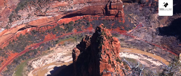
Hydrometry is concerned with the quantitative
determination potential for using geothermal energy in
terms of electricity, heat energy, or for cooling
processes. Data on surface water systems, groundwater and
precipitation are collected spatio-temporally, evaluated
and visualized. Collecting representative field data
constitutes a key role in system analysis and presents the
essential basis for corresponding solution concepts.
In hydrometry,
Groundwater monitoring
Reference date measurement
Data logging equipment
Monitoring network conception
Groundwater exploration
Tracer tests
Infiltrometer tests
Pumping tests
Slug & bail tests
Flow and run-off measurements in natural surface water systems
Estimation of spring discharge rates
TOP
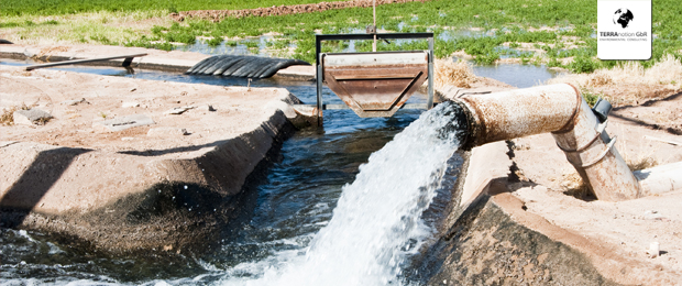
As a related section of hydrogeology, the subject
hydrology includes the characterization, the conceptual
linkage and the interactions between the various parts of
the water circulation system. The quantification of
corresponding process scales, the spatial variability as
well as the effects of anthropogenic influences are
indispensable for an overall system analysis.
Modern hydrology orients itself to the complexity of
hydrological processes and therefore demands
interdisciplinary approaches.
In hydrology,
Hydrological monitoring
Precipitation quantification & analyses
Estimation of evapo(transpi)ration rates
Groundwater recharge estimation
TOP
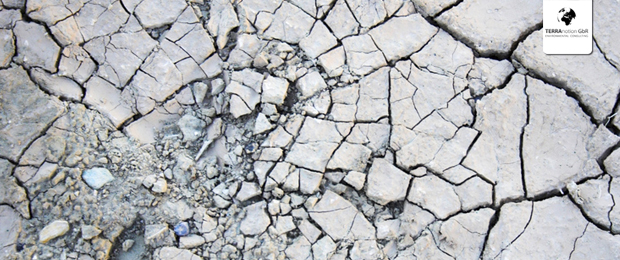
Contaminated sites characterize long-term deposits at
former industry locations or industrially used locations
where environmentally dangerous substances were handled
and which can present dangers for the environment or human
health.
In data management,
Forensic contaminant source identification
Groundwater remediation concepts
Hydraulic optimisation of remediation measures
Fate and solute transport modelling
Hydraulic barrier design
Groundwater monitoring network design
Risk assessment
TOP
Data management combines management issues and technical
solutions for storing, accessing and analyzing geo-spatial
information. An efficient data management focuses the
interfacing of available geo-data into business processes.
In hydrology,
